
Additional Information
: Complete License, Single seat
*Please contact us for multi-seat licensing
: 6188px x 6188px
: JPEG,PNG
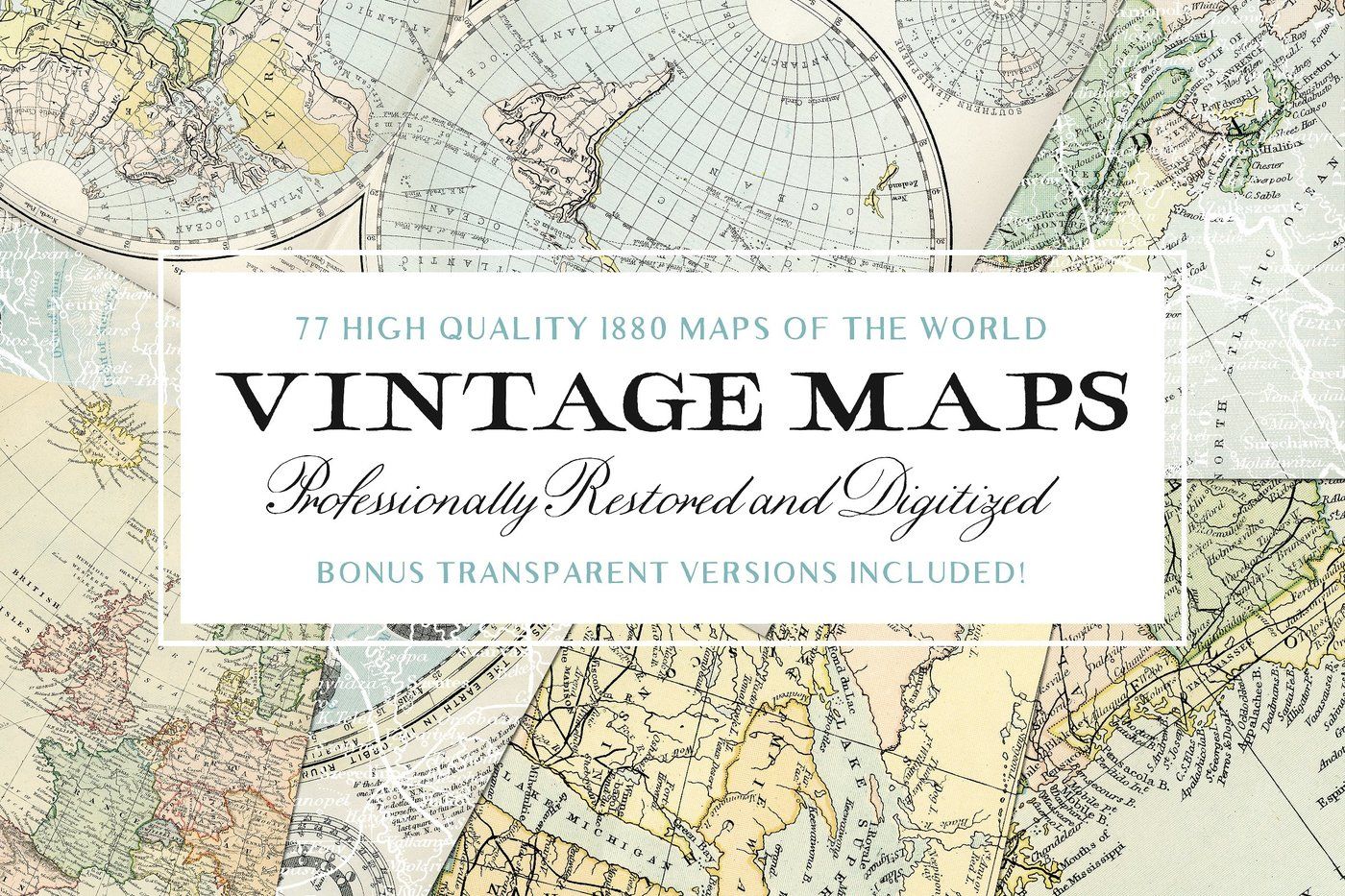
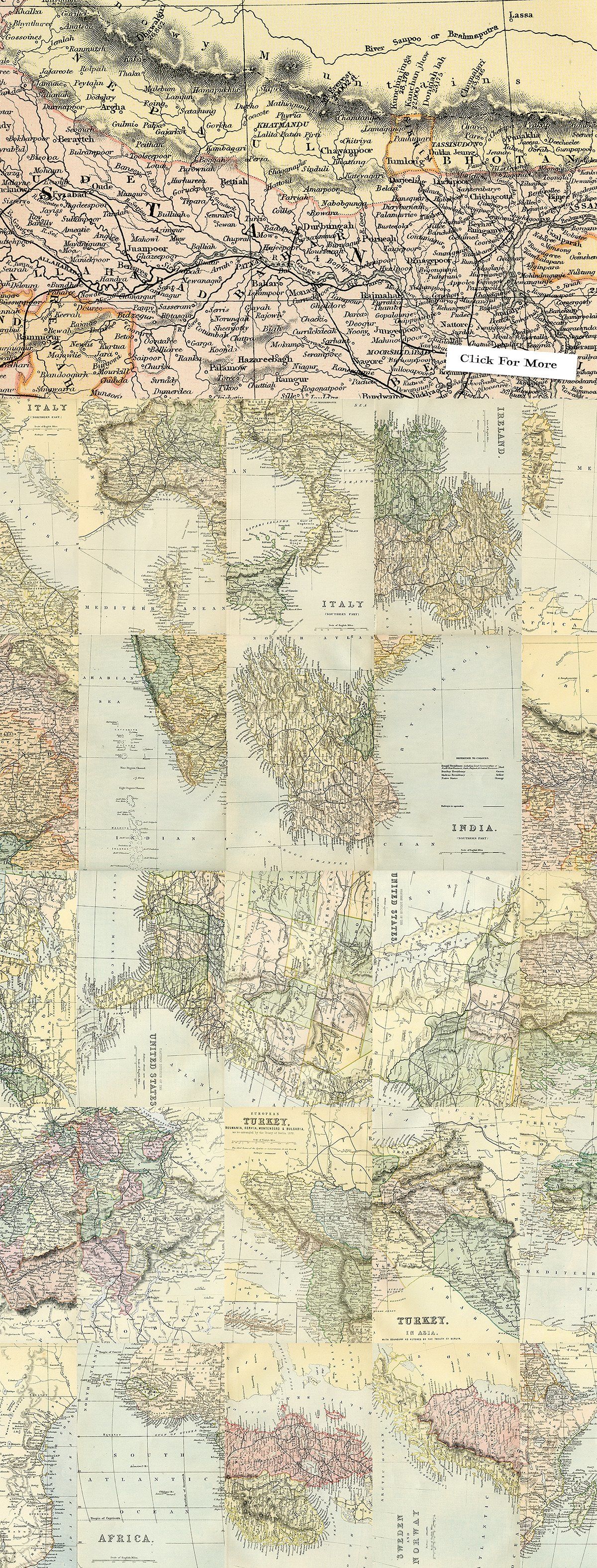
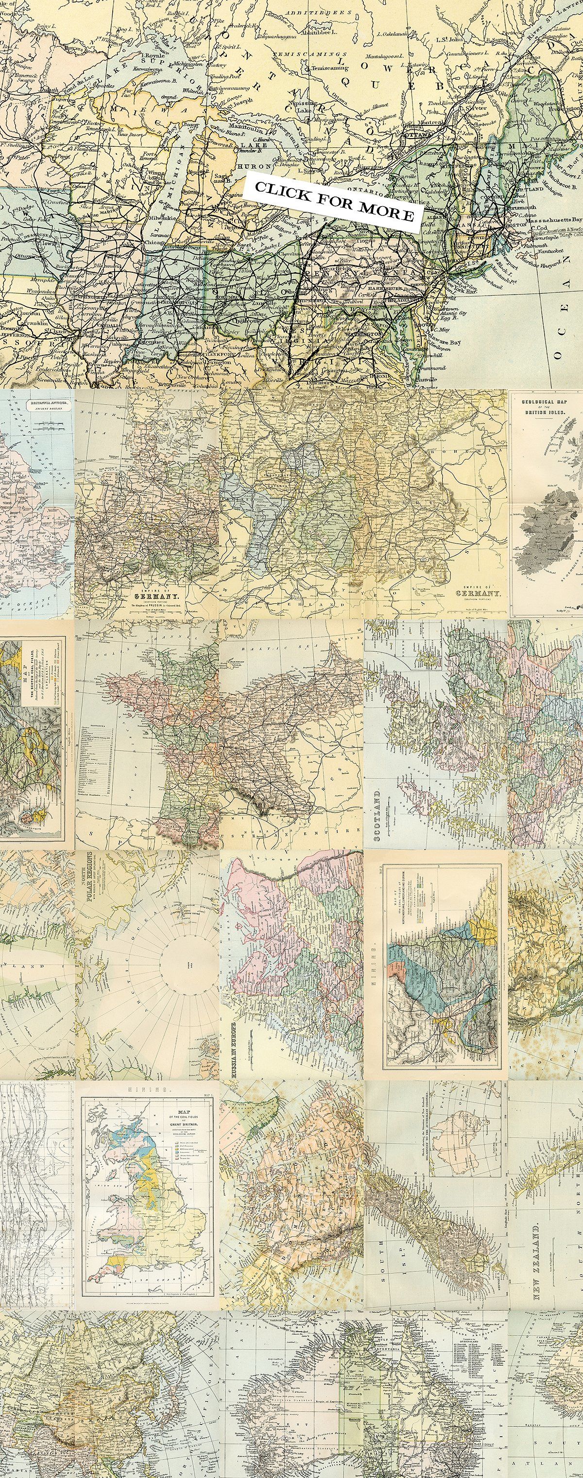
Introducing our Extensive, High Quality, and Rare Collection of Vintage Maps.
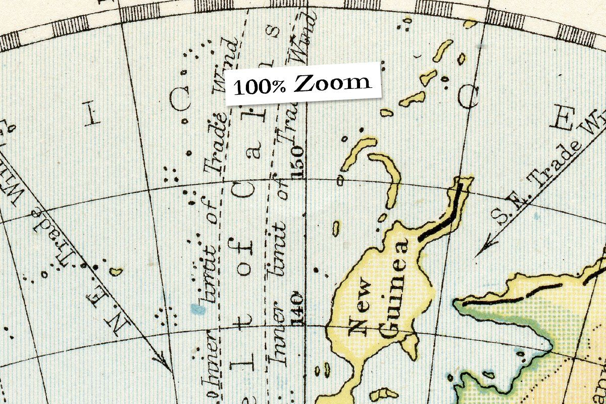
Each image was sourced from an array of encyclopedias that were published in the late 1800's. Scanned at a whopping 1200dpi, every map has as much detail as possible squeezed in.
The Areas Covered; Africa, Asia, Australia, Sweden, Norway, Switzerland, Turkey, United States, Great Britain, New Zealand, North Polar, Russia, Spain, Portugal, Austria, Canada, China, Cyprus, Europe, France, 1 Full Globe Map, The Roman Empire, Germany, India, Ireland, Italy, and some miscellaneous maps; The Seasons, Suez Canal, Isothermal Lines of the Globe, Various Mining Areas in the UK, and more.
What's Inside?
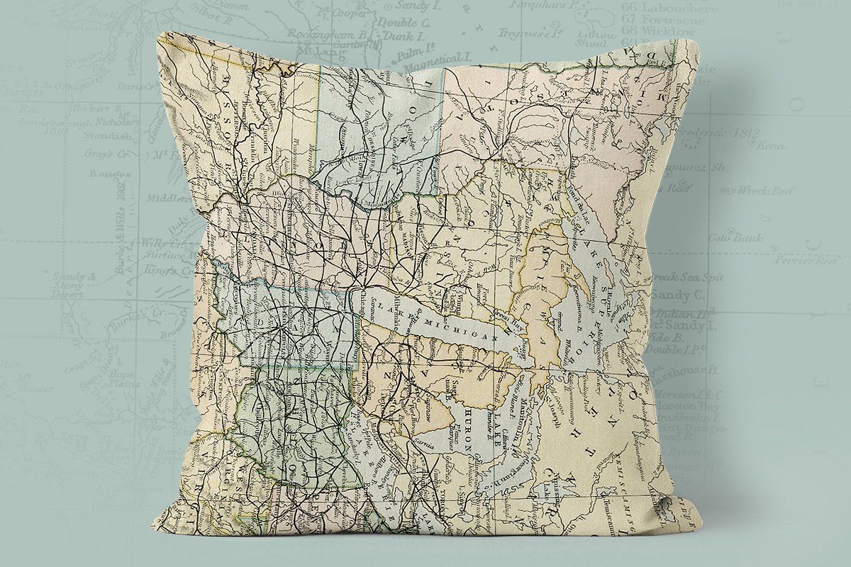
77 High Resolution JPG images (Vast majority = 6188px x 9875px)
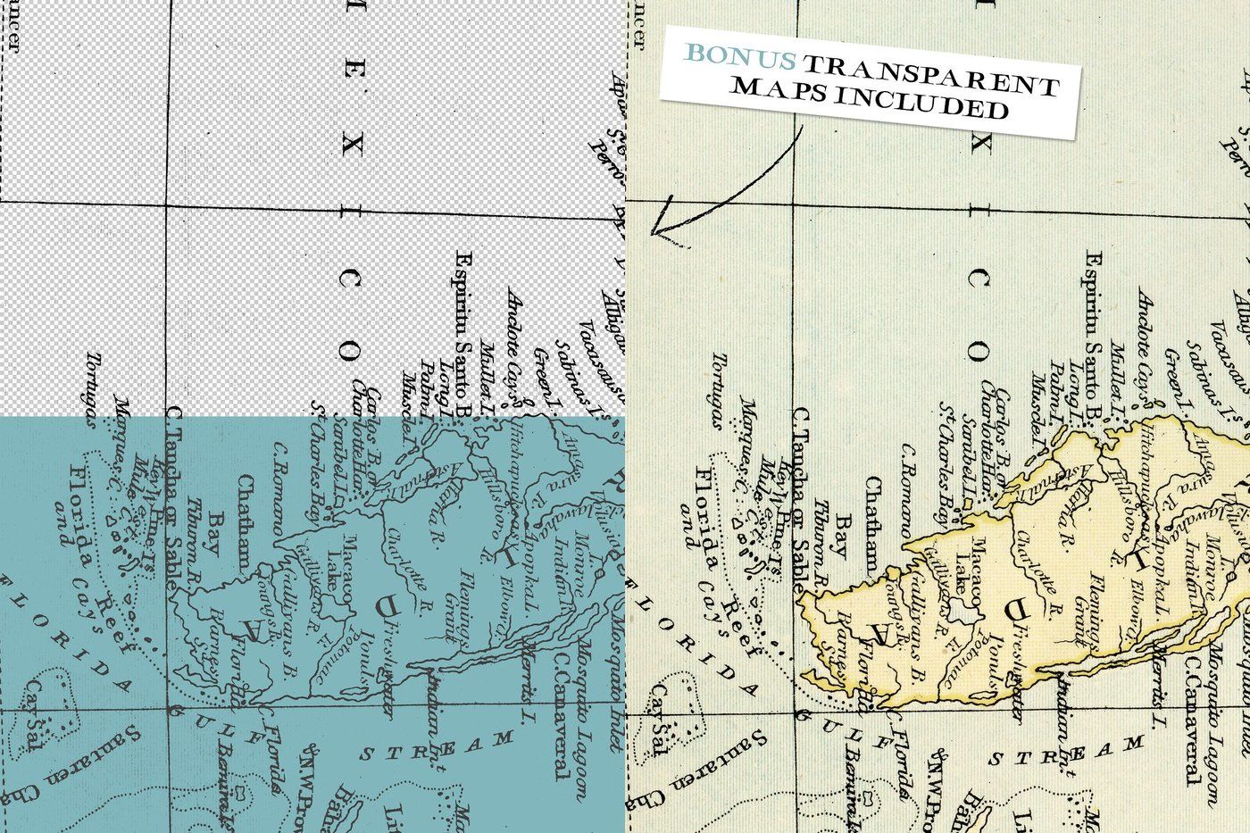
BONUS! 77 Perfectly Transparent PNG Images (Maps without Backgrounds)
If you have any questions, please do not hesitate to send us a message and either Myself or Abbie will get back to you as soon possible!
Please Note - Due to the images being so large (and the fact that there are 154 of them), the collection has been split into 8 volumes. This purchase will provide you access to a .TXT document that includes all of the instant download links to each volume.
Additional Information
: Complete License, Single seat
*Please contact us for multi-seat licensing
: 6188 x 9875px
: JPEG,PNG
Top selling bundles

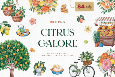
Citrus Galore Bundle
$4.00
Other products you may like
Explore our other popular graphic design and craft resources.
0

0
0

0

0

0

0

0