Colored world map. Political maps, colourful world countries and count
By Tartila in Graphics / Illustrations
$5.00

Additional Information
: Complete License, Single seat
*Please contact us for multi-seat licensing
: Yes
: JPEG,EPS
Colored world map. Political maps, colourful world countries and country names. Geography politics map, world land atlas or planet cartography vector illustration
Product file:
- EPS10
- High Resolution JPEG
Colored world map. Political maps, colourful world countries and count
By Tartila in Graphics / Illustrations
$5.00
Additional Information
: Complete License, Single seat
*Please contact us for multi-seat licensing
: Yes
: JPEG,EPS
Top selling bundles

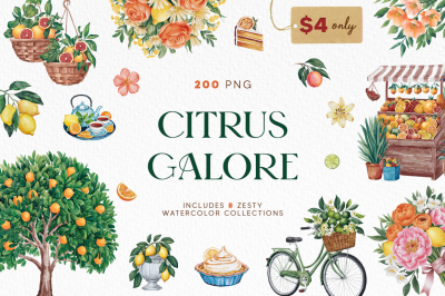
Citrus Galore Bundle
$4.00
Other products you may like
Explore our other popular graphic design and craft resources.


0

0
0

0