
Additional Information
: Complete License, Single seat
*Please contact us for multi-seat licensing
: Yes
: AI,PDF
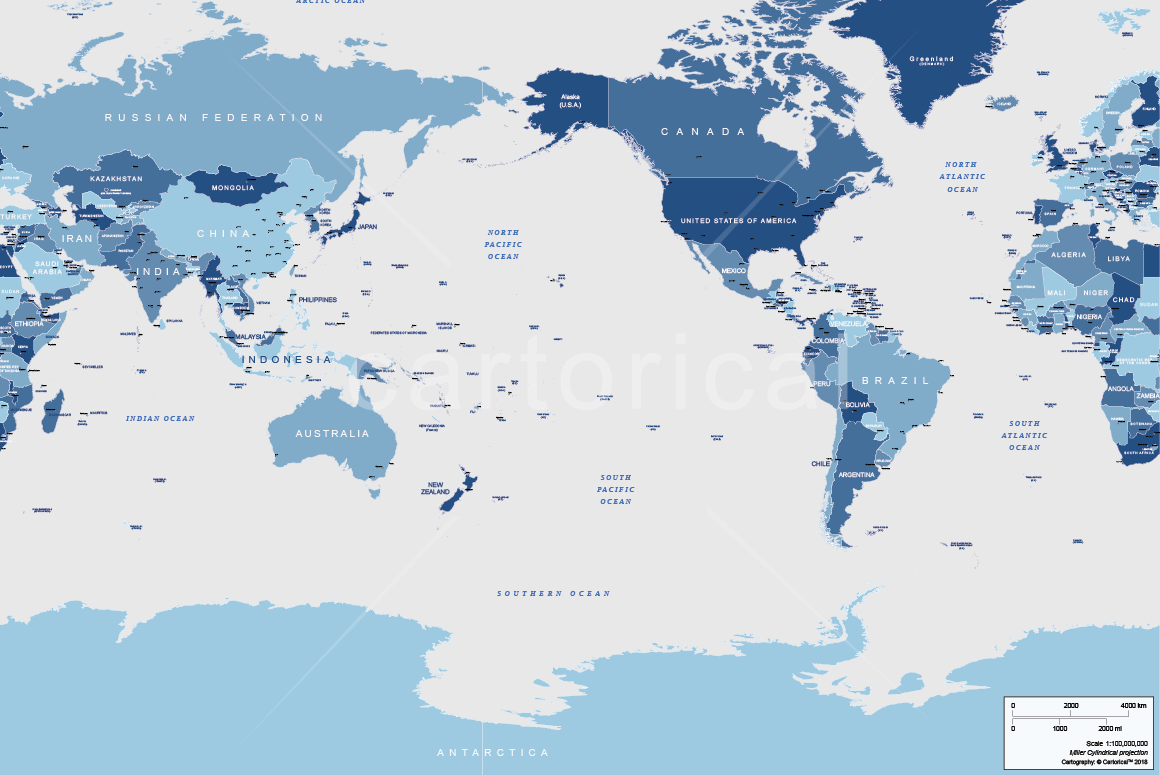
World political map multilayered and scalable to whatever size you want without losing the quality. Everything in our map is editable. Ideal for graphic design, journalism, illustrations, prints, web or multimedia projects.
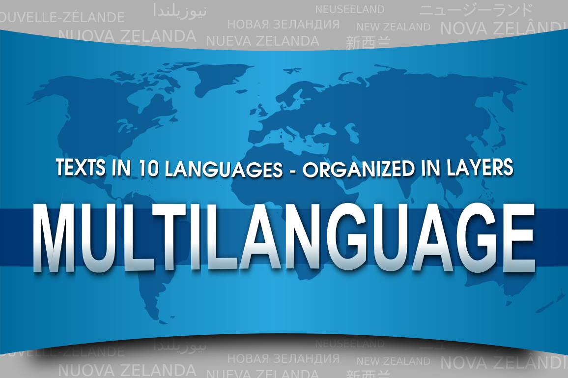
Detailed vector map of every country with borders and location of major cities. The texts are in 10 languages and organized in layers.
This map is centered on the Pacific Ocean and is ideal for companies or institutions whose primary business or activity is along the Pacific Rim.
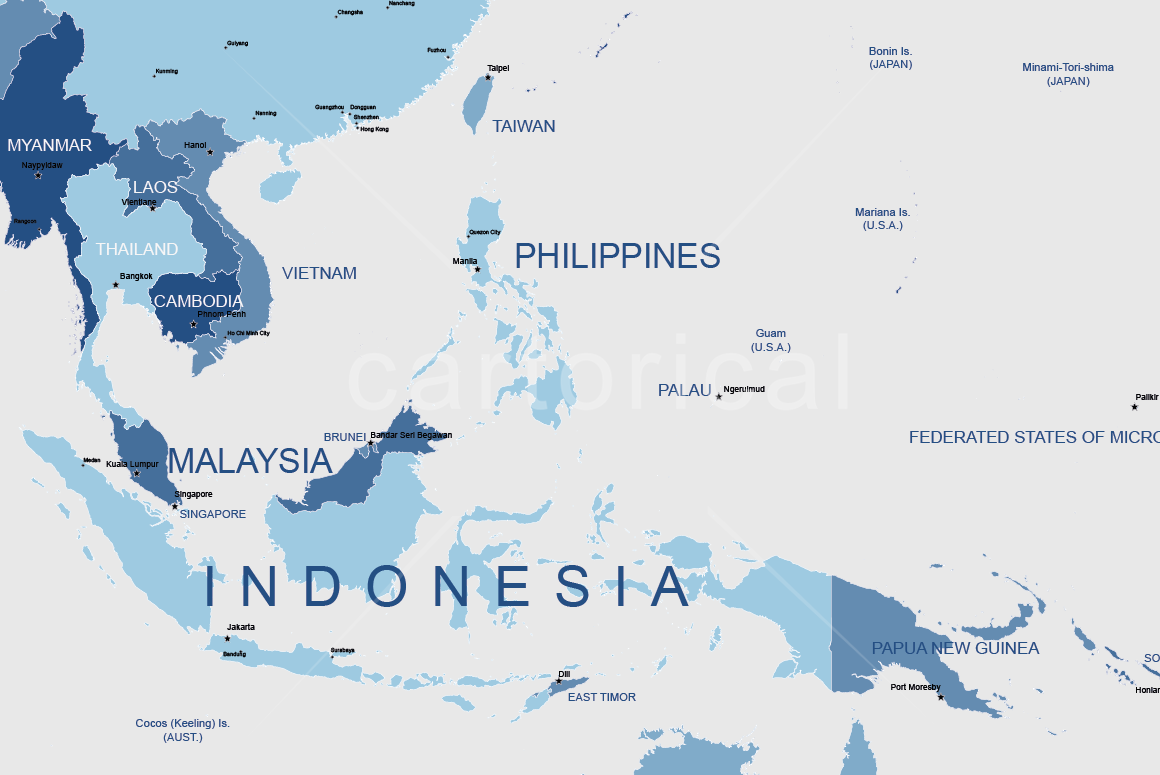
High detail map on the delimitation of borders of the countries and islands.
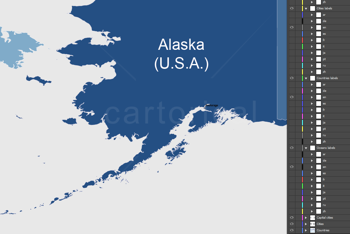
9 thematic layers.
570 editable labels with place names in real text.
Real text layered, no outlines.
Color schemes based in the 4colors theorem: adjacent polygons have not the same color, which helps the reader understand the map. Colors are easily modified by the user.
Multilanguage map: English, Spanish, Chinese, Arab, French, Portuguese, Russian, German, Japanese, Italian.
Projection: Miller cylindrical.
Original scale: 1:10,000,000
Dimensions: A2 scalable
File formats: ai, pdf
Free regular updates
Additional Information
: Complete License, Single seat
*Please contact us for multi-seat licensing
: Yes
: AI,PDF
Top selling bundles

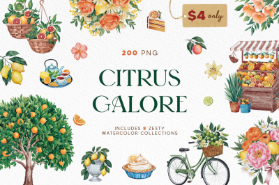
Citrus Galore Bundle
$4.00
Other products you may like
Explore our other popular graphic design and craft resources.

0

0

0

0

0

0