
Additional Information
: Complete License, Single seat
*Please contact us for multi-seat licensing
: Yes
: AI,PDF
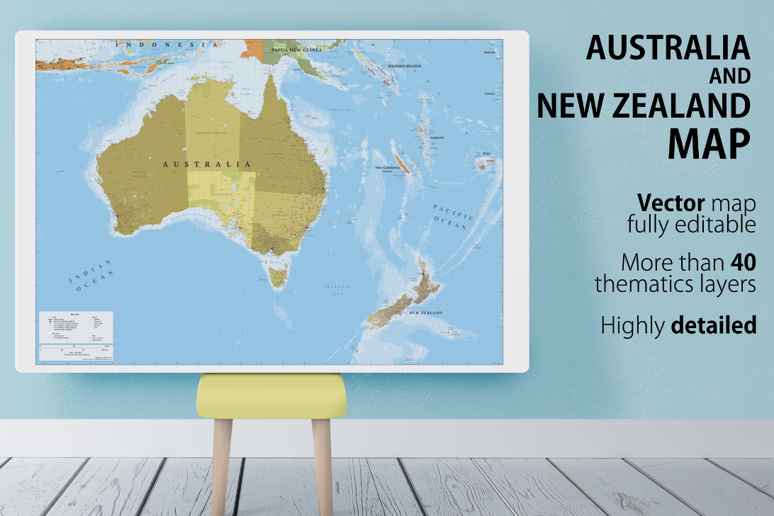
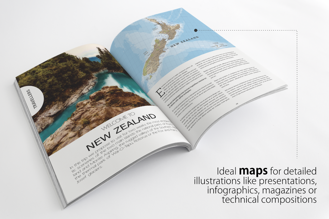
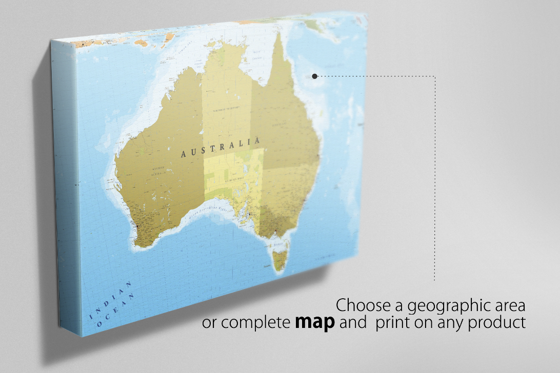
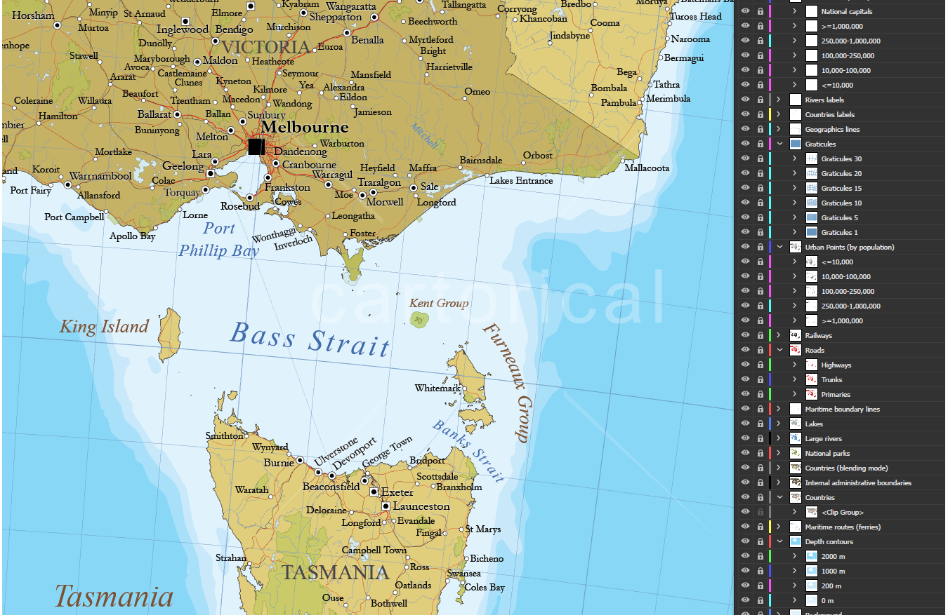
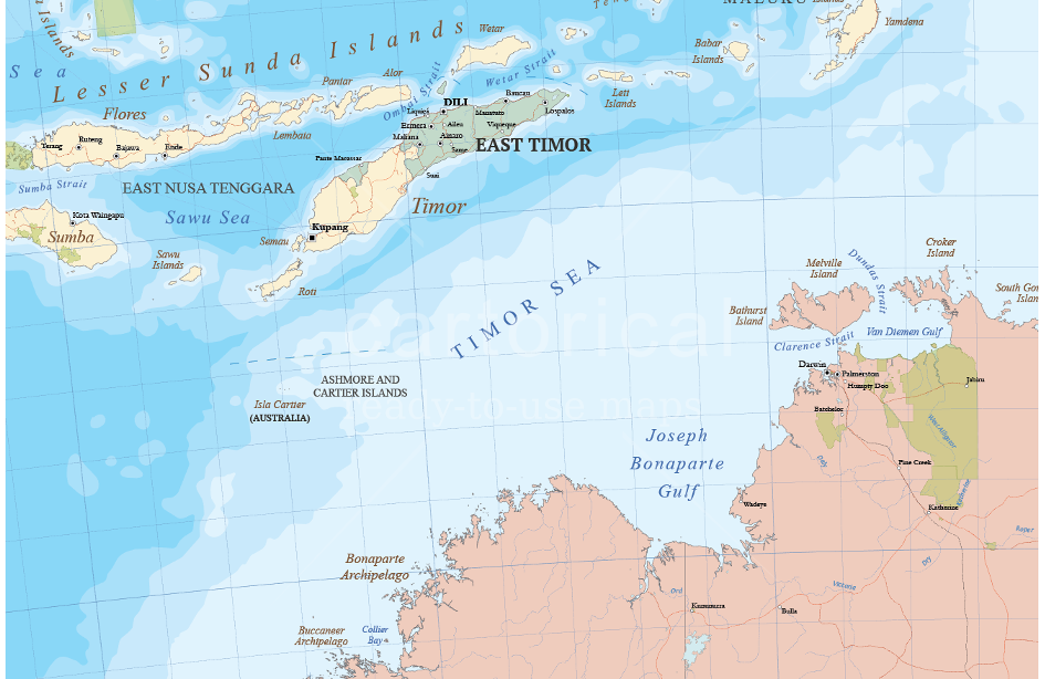
Large scale Australasia political map (Australia and New Zealand) multilayered in editable vector format. Highly detailed, ideal for illustrations, prints and multimedia projects. 100% editable including font text for ease of use.
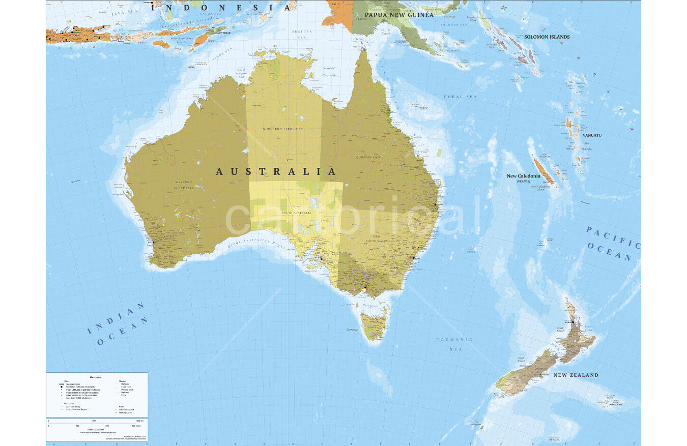
Map with towns, cities, major roads, railways and sea routes.
Multiple thematic layers:
Coast lines and islands.
Complete maritime routes.
Countries (borders and fills in two styles).
Countries names.
Oceans and seas names.
Depth contours.
Rivers.
Lakes and reservoirs.
Geographic points names.
Internal administrative boundaries (firstlevel administrative division).
Internal administrative boundaries names.
Capital cities.
Major settlements (five levels layered by population).
Motorways.
Trunk roads.
Primary roads.
Railways of standard gauge.
National Parks.
Graticule with latitude/longitude.
Map symbolization.
The design respect the rules and standards of cartographic composition with a style of colors and patterns consistent and creative. Adjacent polygons have not the same color, which helps the reader understand the map. All texts can be modified: real text, no outlines.
Technical description
Vector elements distributed in more than 40 thematic layers.
Labels in real text layered.
Languages: English.
Projection: Lamberts Conic.
Original scale: 1:3,500,000
Dimensions: 4A0 About (1682 x 2378 mm or 66.2 x 93.6 in). Scalable.
Formats: Illustrator and Acrobat PDF.
Additional Information
: Complete License, Single seat
*Please contact us for multi-seat licensing
: Yes
: AI,PDF
Top selling bundles

Citrus Galore Bundle
$4.00
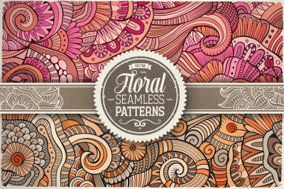
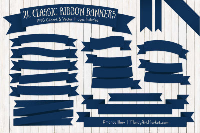
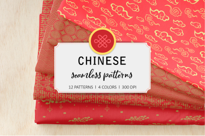
Other products you may like
Explore our other popular graphic design and craft resources.
0

0

0
0

0
0